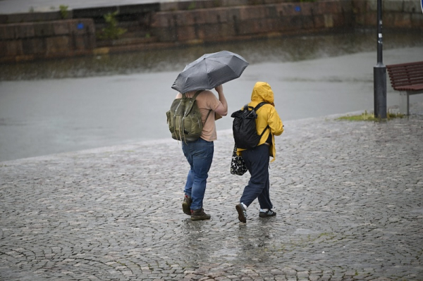

Pedestrians in rainy Helsinki. Photo: Antti Aimo-Koivisto / Lehtikuva
- Previous Article University of Helsinki rector defends Kaisa House rental decision
- Next Article Revised figures show deeper rise in poverty from welfare cuts
Cool and unstable weather will persist across Finland throughout the week, with meteorologists forecasting scattered showers, falling temperatures, and even overnight frost in parts of the country.
According to the Finnish Meteorological Institute (FMI), daytime temperatures on Monday and Tuesday will hover around 15–17°C in the south and central regions, with the north experiencing highs between 10–15°C. Overnight lows are expected to dip near freezing, particularly in low-lying areas of central and southern Finland, as well as parts of Northern Ostrobothnia and the Kajaani region.
The FMI’s Jaakko Savela said showers will be widespread on Monday, followed by heavier rain in the southern and central parts of the country on Tuesday.
Liisa Rintaniemi, meteorologist at MTV Uutiset, warned of occasional thunder and strong gusts in the east. Some areas may also see hail, particularly during the heaviest bursts of showers.
The pattern reflects last week’s conditions, with persistent low pressure maintaining a flow of cool northern air across the country. A new low-pressure system is expected to move in from the north on Tuesday, bringing more rain to Lapland and gradually moving southwards through Wednesday.
The Finnish Environment Institute (Syke) reports that surface water temperatures in lakes and coastal regions have dropped below seasonal averages. The drop is directly linked to cooler air temperatures and overcast skies over the past several days.
Despite the unsettled conditions, meteorologists have not officially declared the start of autumn. According to the FMI, autumn begins when the daily average temperature remains below 10°C for a sustained period.
“A few degrees warmer and this would still be late summer. For now, autumn hasn’t arrived yet in terms of temperature definition,” Rintaniemi noted.
By midweek, the weather system is expected to weaken and shift eastward. Forecasters predict that warmer air from southern Europe may start to reach Finland by Thursday, with some southern regions potentially reaching 20°C on Friday or Saturday.
Weather models indicate that the first week of September could be warmer than average, but the long-range forecast remains uncertain.
The week will bring a mix of rain, clear spells, and temperature swings across the country. While parts of Finland may see drier conditions at times, forecasters urge caution in eastern areas where convective storms may still develop.
HT
- Previous Article University of Helsinki rector defends Kaisa House rental decision
- Next Article Revised figures show deeper rise in poverty from welfare cuts
Source: www.helsinkitimes.fi