Finland to hit 17°C before snow and frost return

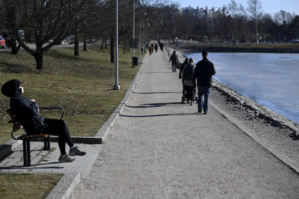
People enjoying the sunshine at Taivallahti by the Merikannontie shoreline in Helsinki. LEHTIKUVA
- Next Article Summer logging destroys 100,000 bird nests annually in Finland
Temperatures across Finland will rise sharply early this week, with southern areas expecting highs of up to 17°C on Wednesday, according to forecasts from the Finnish Meteorological Institute and broadcaster MTV.
Monday brings unstable weather, including light rain in southern and central parts of the country and mixed precipitation in Lapland.
Temperatures in rainy areas will stay below 10°C. If the sun breaks through clouds, the southeast could see highs of 14°C. The freezing line sits near central Lapland.
Tuesday will see a noticeable improvement. Most of the country will remain dry and sunny, though some cloud cover and isolated showers may appear in central regions. Conditions will be warmer than average for early spring.
Wednesday is expected to be the warmest day of the week. Meteorologist Elias Paakkanen said temperatures in southern Finland could reach 17°C, with highs of 13–14°C in Ostrobothnia and up to 10°C even in Lapland. The dry and sunny weather will continue into Thursday, with similar highs in southern Finland.
However, meteorologists warn of a sharp drop in temperatures starting Friday.
“This will be a total collapse,” said Paakkanen, noting that daytime highs could fall by more than 10°C nationwide. In southern Finland, the temperature may fall from 17°C on Thursday to just 4°C on Friday. Lapland may see sub-zero daytime temperatures again.
The change will follow a shift in the direction of airflows over Finland and the wider region. Meteorologist Markus Mäntykannas said the cold front will extend across much of Europe, bringing freezing nights and snowfall as far south as Greece.
“This is a brutal drop,” Mäntykannas said in an interview on Sunday. “The map will turn blue across the continent.”
Thursday will be the last warm day before the cold weather sets in. Rain is expected in the south on Monday, helping to reduce high dust levels. Sleet and snow could return to the eastern and northern parts of Lapland on Thursday. By Saturday, daytime temperatures may stay close to freezing across the country.
The coming cold spell is not unusual for early April, according to Paakkanen. Current conditions are unseasonably warm, which makes the drop feel more severe.
Data from the Finnish Meteorological Institute shows that March rainfall was slightly below average, leading to early brush fire warnings in some regions.
MTV’s weather team confirmed that overnight frost is expected throughout the country by the weekend. In some coastal regions, snowfall could briefly cover the ground.
Temperatures are expected to recover slightly around Easter, but forecasts remain uncertain.
HT
- Next Article Summer logging destroys 100,000 bird nests annually in Finland
Source: www.helsinkitimes.fi
