Storm Amy to bring strong winds and rain across Finland

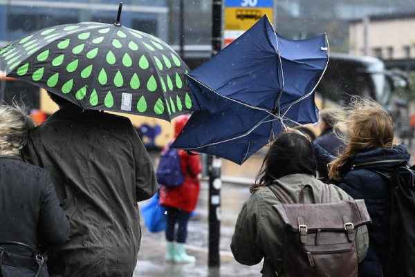
Pedestrians with umbrellas in rainy weather in Helsinki. Photo: Vesa Moilanen / Lehtikuva
- Next Article Finland and Sweden push EU to use frozen Russian funds for Ukraine loan
Finland is set for a windy and unsettled weekend as the remnants of two Atlantic hurricanes generate a powerful low-pressure system over northern Europe. Storm Amy, which developed in the wake of hurricanes Humberto and Imelda, will sweep across the Nordic region, bringing gusts, rain and rough seas.
The Finnish Meteorological Institute (FMI) and Foreca confirmed that a deep low-pressure system will reach Finland late on Saturday. Strongest winds are expected over western Finland and the Åland Islands, with gusts spreading north on Sunday. FMI has issued yellow wind warnings for most of the country, highlighting risks of local damage.
“Gusts on land may cause isolated wind damage. At sea, conditions will be much tougher, with storm-level gusts possible in the Bothnian Sea and northern Baltic,” said FMI marine specialist Anni Jokiniemi.
Foreca’s duty meteorologist Ilkka Alanko said Saturday will start calm but change quickly: “In the evening rain will spread from the west and winds will strengthen. Over western seas storm gusts are possible.”
By Sunday, a band of heavy rain will move east and north, with strong gusts also reaching inland areas. Temperatures will remain around 10°C nationwide, with cloud cover and warm airflows keeping night frost away.
The roots of the storm lie in an unusual meteorological event. Humberto, once a category 5 hurricane, and Imelda, a category 2, interacted over the Atlantic in a rare Fujiwhara effect, in which two storm systems orbit around each other. This atmospheric instability created conditions for a new low, later named Amy.
While Humberto weakened, Imelda intensified, and Amy drew energy from the turbulent system. Ireland has already issued a red maritime warning for Amy, with winds expected to exceed 40 metres per second offshore. In Britain and Norway, yellow alerts remain in place, with forecasters warning of destructive gusts and flooding rains.
In Finland, forecasters expect less extreme impacts, but seas will become dangerous. FMI warned of hazardous waves in the Bothnian Sea and northern Baltic on Saturday night.
Sunday’s rainfall totals are expected to remain modest, only a few millimetres in most areas, but the combination of gusty winds and wet conditions could disrupt outdoor activity and transport.
The calm high-pressure system that has dominated Finland’s weather for more than a week will give way entirely by the weekend. “We have had stable, almost unchanging weather, but Amy will put an end to that. The next days will be cloudy, wet and windy,” said FMI duty meteorologist Petteri Pyykkö.
Looking ahead, next week’s forecast points to mostly cloudy and rainy conditions with occasional breaks of sunshine. Daytime temperatures will stay between 6–12°C. Nights will be milder, with cloud cover preventing frost.
HT
- Next Article Finland and Sweden push EU to use frozen Russian funds for Ukraine loan
Source: www.helsinkitimes.fi
