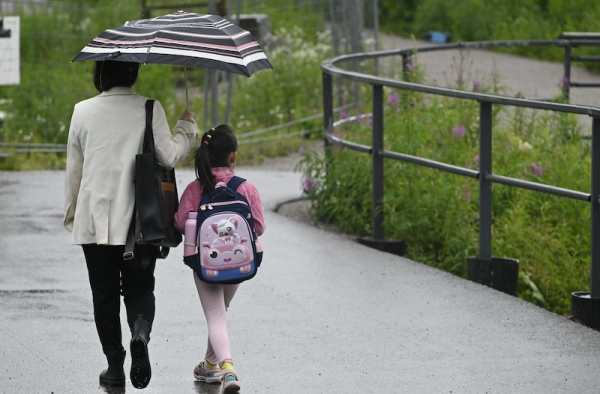

Rain in the south on Friday. Photo: Heikki Saukkomaa / Lehtikuva
- Previous Article Kotka mayor Sirviö suspected of aggravated drunk driving while on sick leave
- Next Article Public backs tighter taxi laws in Finland
Finland faces an unstable weather weekend as thunderstorms, strong winds, and multiple rain systems move across the country.
The Finnish Meteorological Institute has issued warnings for heavy rainfall, gusty winds, and isolated thunderstorms from Friday through Sunday. The agency said a broad low-pressure front arriving from the west will push warm, humid air across the country, triggering weather changes in nearly all regions.
Temperatures will drop noticeably. After earlier highs exceeding 20°C in many parts of the country, weekend readings are expected to stay mostly between 15°C and 20°C.
On Friday morning, the first rain system extended from Hanko in the south-west to Vaasa on the west coast. The band of rain slowly moved eastward through the day, reaching areas from south-east Finland to western Lapland by evening.
A second rain system entered western Finland later in the evening. Heaviest rainfall was recorded in south-western areas, where totals reached between 20 and 30 millimetres. Other regions saw lighter precipitation ranging between 2 and 10 millimetres.
Wind speeds increased along coastal and marine areas, with gusts reaching storm levels early on Friday. According to FMI, wind speeds peaked at 15 metres per second in parts of Finnish Lapland.
By Saturday, the rainfall will continue in the form of scattered showers across the country. The FMI has issued thunderstorm warnings for all areas except Lapland.
Meteorologists say that lightning activity will be concentrated in the western half of the country but remains possible elsewhere.
“These thunderstorms will be short-lived and localised, but some of them could be strong,” said Foreca meteorologist Anna Latvala.
Strong wind gusts remain possible throughout Saturday, especially in coastal areas and in elevated terrain.
By Sunday, a new rain system is forecast to enter southern Finland, although models remain inconsistent regarding the most affected areas and precipitation totals.
Temperatures on Sunday will remain in the same range, with highs of 19°C in the south-west and around 12°C in the far north.
Weather services expect autumn conditions to become more dominant next week. Another low-pressure system from the North Atlantic is expected to bring further rainfall from the south and south-west beginning early in the week.
HT
- Previous Article Kotka mayor Sirviö suspected of aggravated drunk driving while on sick leave
- Next Article Public backs tighter taxi laws in Finland
Source: www.helsinkitimes.fi