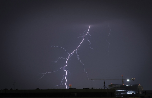

Thunder striking in Etu-Töölö, Helsinki. Photo: Iivo Lindqvist / Str / Lehtikuva
- Next Article Finland’s credit rating cut as debt rises and reforms stall
Persistent high temperatures and increased lightning activity are expected across Finland next week, according to the Finnish Meteorological Institute.
Warm, humid air flowing from the southeast will create conditions favourable for strong thunderstorms in most parts of the country, including western Finland, Central Ostrobothnia, and Lapland. Monday’s storms are expected to bring powerful wind gusts and hail in some areas.
Lightning strikes could ignite wildfires, especially where vegetation remains dry. The risk is compounded by high temperatures and prolonged lack of rain, though localised heavy downpours may ease conditions in some regions.
On Tuesday, thunderstorm activity is forecast to shift toward the southwest. The air will remain humid, with occasional heavy rainfall.
Daily temperatures are expected to remain high throughout the week, reaching between 27°C and 31°C. Nighttime temperatures may stay at or above 20°C in some locations, meeting the threshold for so-called tropical nights.
The prolonged heat continues to affect large parts of the country. Authorities have warned of increased health risks, especially for vulnerable groups, due to the high humidity and persistent heat.
According to meteorologists, the combination of strong sunlight, elevated moisture levels, and unstable air masses will continue to fuel daily thunderstorm development well into next week.
The Finnish Meteorological Institute has urged the public to monitor weather alerts closely and prepare for sudden changes in weather, particularly in areas prone to thunderstorm activity and potential flash flooding.
HT
- Next Article Finland’s credit rating cut as debt rises and reforms stall
Source: www.helsinkitimes.fi